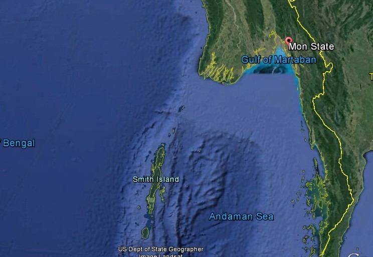
An eight-year mapping project designed to produce a comprehensive national map system, called “One Map Myanmar,” is planning to launch activities in Burma’s southern regions of Pegu, Tenasserism and Mon State.
According to the Land Core Group, a consortium of pro-poor land reform actors, the project will be implemented in cooperation with 25 union-level ministries including Forestry, Land Record, and Farmland Management.
“Accurate land mapping is very important to determine the exact number of acres of farms and rubber plantations and vacant land, along with which land is best suited for what vegetation and what is permissible on different tracts. For example, if the land survey for a proposed project was conducted only by the project shareholders and presented to the government, this could cause problems. But if we have the maps already, state governments are better able to grant approval for projects based on accurate information,” said Dr. Min Kyi Win, Mon State’s Minister of Natural Resources and Environmental Conservation.
The minister explained that, at the moment, maps used by the Forestry Department are different from those used by the Land Measurement Record Department. The need for reliable, up-to-date, widely accessible maps used across departments has resulted in the government’s cooperation with the One Map Myanmar project, he said.
The Mon State government is still in talks with the Land Core Group, the body that will provide technical assistance for mapping activities under oversight from the Forestry Department, to finalize plans for local mapping activities there.
“We are still holding discussions and hope the project [in southern Burma] will begin in September. Once the project is underway, the One Map Myanmar team itself does not go to the field to measure the land. There are already maps drawn up by [non-governmental organizations] and local residents. Maps will be put online for project transparency. If residents want to create their own maps, they can contact One Map Myanmar for help with technical advice, funding and materials,” said Nai Shwe Thein, Managing Director of the Land Core Group.
The managing director added that mapping is more precise when conducted with public participation, and the project will be an open source for input from civil society organizations and local residents.
The One Map Myanmar project, inaugurated in June 2015 and planned for completion in June 2023, is entering an initial 5-month phase, followed by a 19-month period of mapping development, a four-year expansion of the map, and the final two-year phase of map completion.